Welcome to LUGC research group at IGSNRR, CAS!
Recent News
- 04 Apr, 2019|Article News : A new paper was published

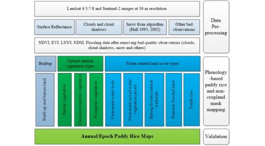
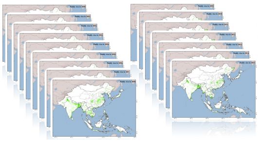
Mrinal Singha published a paper
- 05 Apr, 2019|Article News : A new paper was published
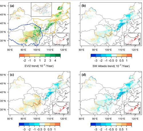
Lei Zheng published a paper
- 10 Mar, 2019|News : The group participated in the GEE study seminar
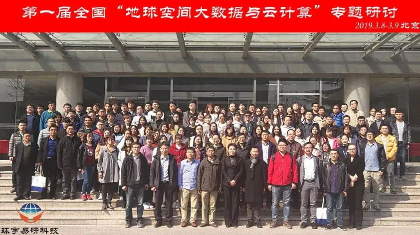
Google Earth Engine Workshop in China
- 18 Apr, 2018|Article News : A new paper was published
Guosong Zhao published a paper
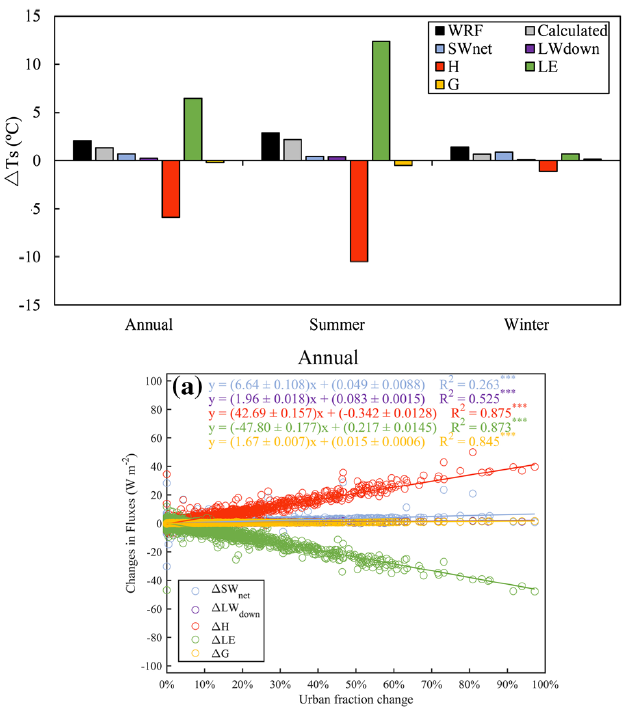
Given the considerable influences of urbanization on near-surface air temperature (T a ) and surface skin temperature (T s ) at local and regional scales, we investigated the biogeophysical effects of urbanization on T a and T s in the Beijing-Tianjin-Hebei (BTH) region of China, a typical rapidly urbanizing area, using the weather research and forecasting model (WRF). Two experiments were conduct...- 29, Aug, 2017|Article News : A new paper was published
Yan zhou published a paper
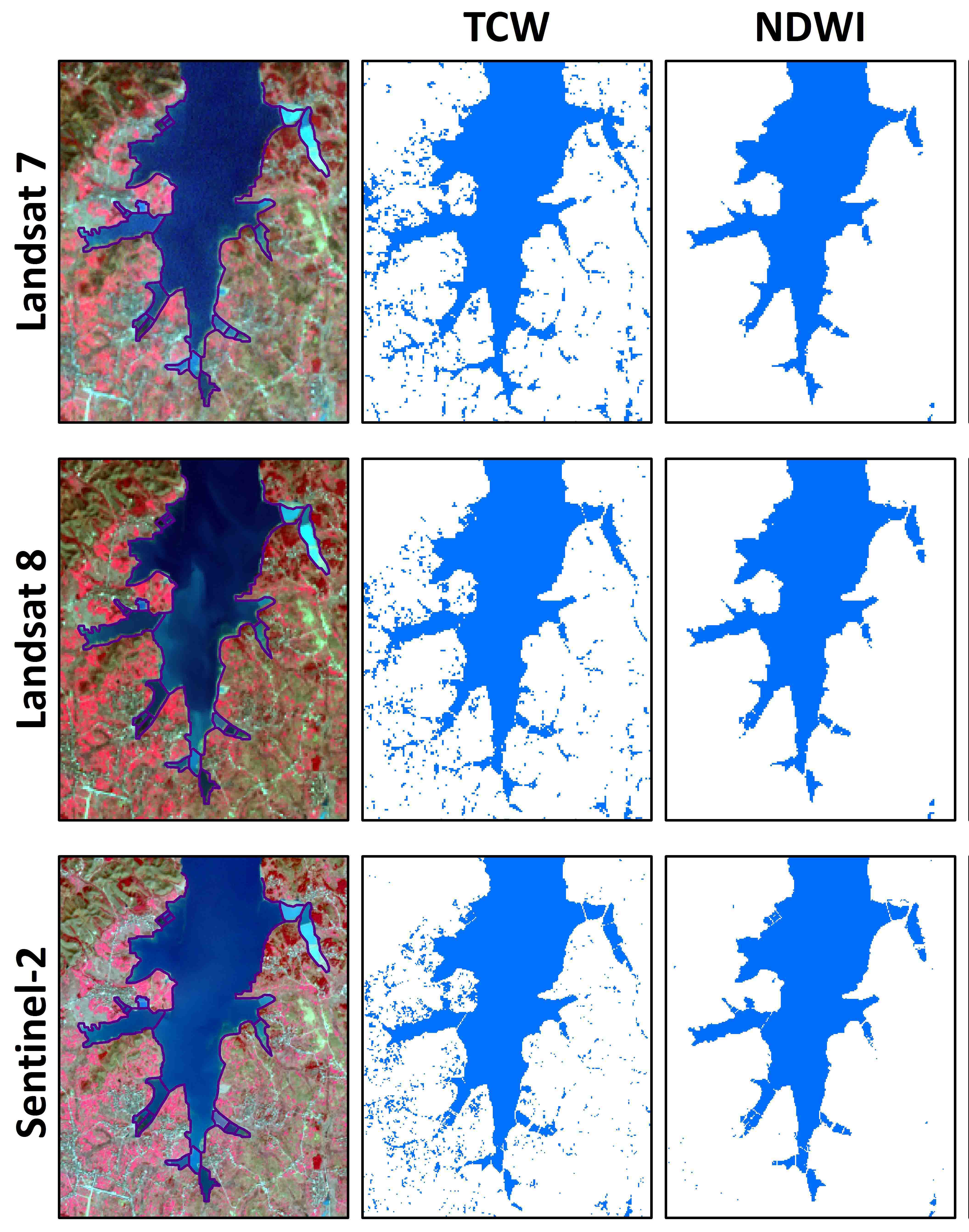
Open surface water bodies play an important role in agricultural and industrial production, and are susceptible to climate change and human activities. Remote sensing data has been increasingly used to map open surface water bodies at local, regional, and global scales. Many water indices have been proposed to identify surface water bodies; however, the differences in performances of these water...- Oct 20, 2017|News : Yan Zhou won a national scholarship for graduate students

Yan Zhou won a national scholarship for graduate students
Yan Zhou, a graduate student of grade three, comes from China University of Geosciences, Beijing. His comprehensive achievements are excellent which is the result of studying seriously hard and having a positive attitude towards scientific research. And he won a national scholarship for graduate students issued by the Ministry of Education of People's Republic of China in September 2017.- Oct 20, 2017|News : Zhiqi Yang won a national scholarship for graduate students

Zhiqi Yang won a national scholarship for graduate students
Zhiqi Yang, a graduate student of grade three, won a national scholarship for graduate students issued by the Ministry of Education of the People's Republic of China in September 2017. During the master study, he got excellent comprehensive achievements and published a SCI on ISPRS International Journal of Geo-Information. He said that the most important thing is to study hard and have a ...- 27 Sep 2017|Article News : A new paper was published

Zhiqi Yang published a paper
In order to examine the advantages and disadvantages of existing forest mapping products, we conducted a thorough accuracy assessment on the eight recent, medium resolution (30–50 m) products by using the LP in 2010 as the region of interest. These mapping products include Landsat and/or PALSAR images (including the forest products from GlobeLand30, FROM-GLC, Hansen, ChinaCover, NLCD-China, ...
